Day IV: 11th September 2008.
Weather: Overcast, and followed the weather front east
Burnhead to Chollerford: 15 miles (16.1 on Pedometer)
Total Steps: 33979
Acc Steps: 139919
After a lovely breakfast and with the forecast of dry weather I stepped out into a dull overcast sky. I didn’t take the brolly with me today, and the landlord was kind enough to lend me a baseball hat before I set off – me being the eternal optimist with regard to the sun shining down on me. As it turned out it was cloudy all day, and I didn’t need it. I must post it back to David and thank him for his generosity. Today was also the day when I met a lot of walkers going both ways along the Hadrian’s Wall path but mostly those travelling east were day trippers from Housesteads fort. Some dressed for an artic expedition, and some not so well clad, and one gent who was a symbol of courage and inspiration. The continuation of the Whin Sill across to the east gave the day some splendid scenery and wide ranging views, but I’m afraid I didn’t do it justice with the camera, as a lot of the pictures were very dark – shot into the gloom. I walked around the quarry at Cawfield, a very tranquil setting in the morning but not much bird life was around, and the wall here has been quarried away.
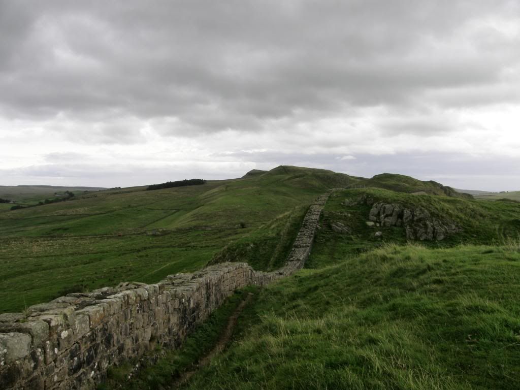
The wall stretches away to the east
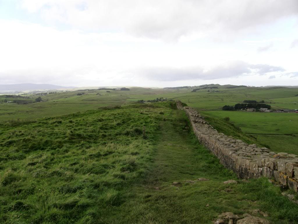
And also to the west. The Pennines getting further away
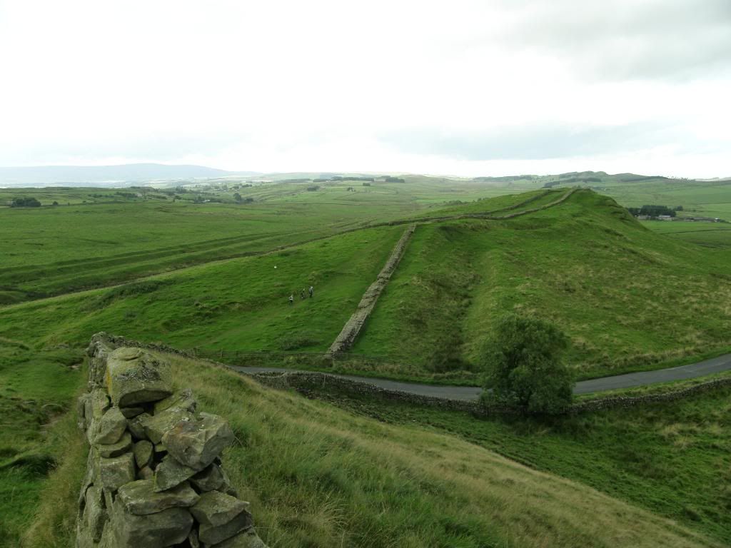
The vallum is very well defined to the left of the picture, and the defensive ditch in front of the wall. North to the right side.
The vallum clearly runs east at the bottom of the scarp slope, and I quickly made my way up to Cawfield Crags from where I could see the wall snaking away in the distance. I waved back to the B&B but I doubt they would have seen me today. Unfortunately the edge of a weather front was overhead and I didn’t see much sunshine, but the scenery and wall more than made up for that, and I didn’t get wet which is always a bonus. There were a lot of ups and downs today as well, some of them quite steep down to the gaps and equally steep up the other side. After Caw Gap the route gradually ascends to the highest point of the walk at Windshields Crags, which is marked by a gleaming white trig point - 345m, a mere hill.
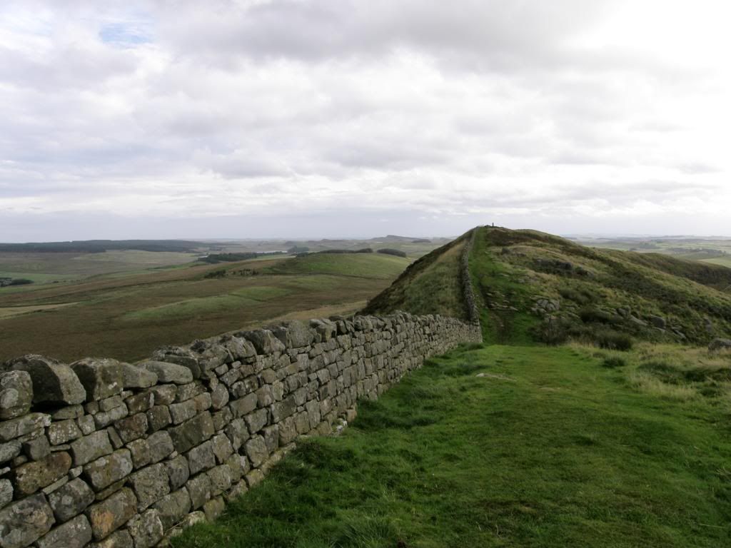
The trig point up ahead
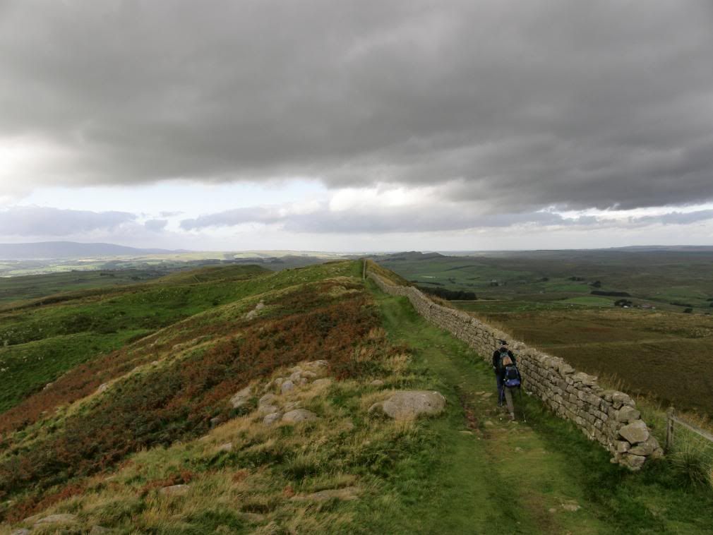
The view to the west
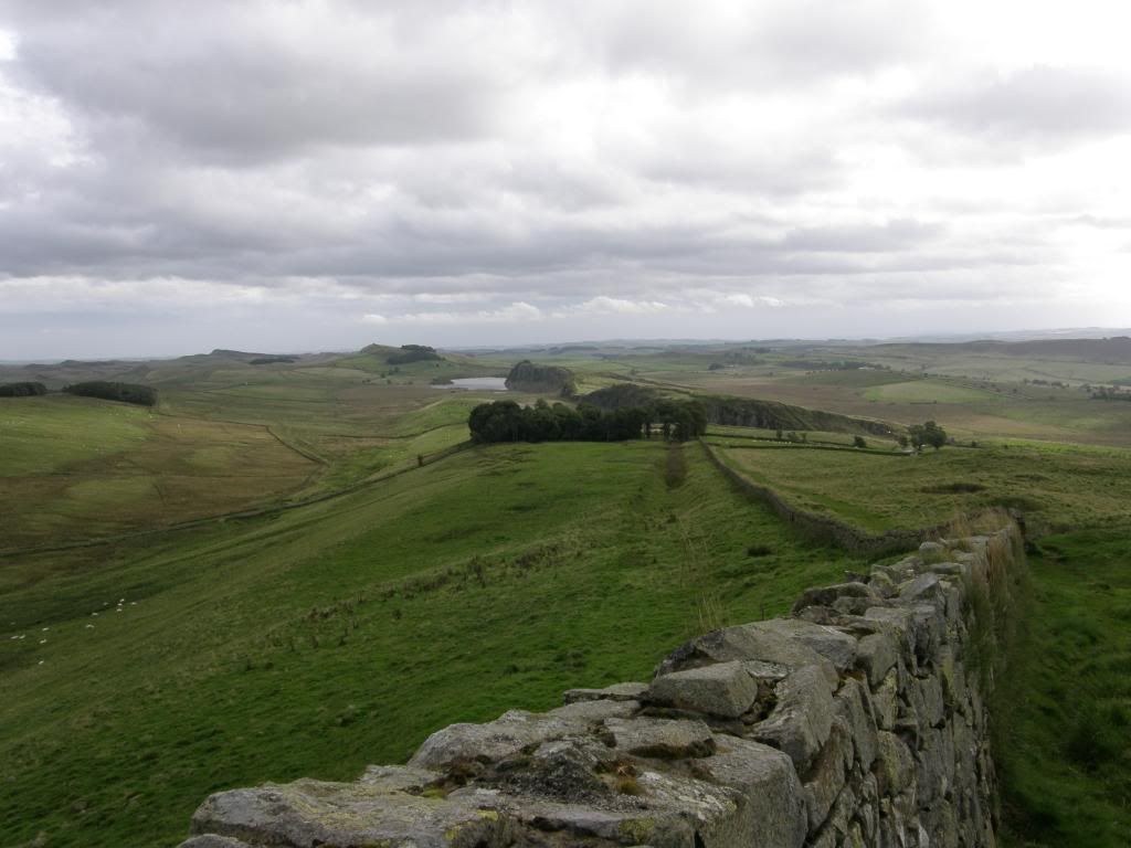
And the view to the east
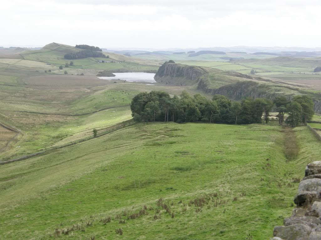
A zoomed in shot towards Crag Lough
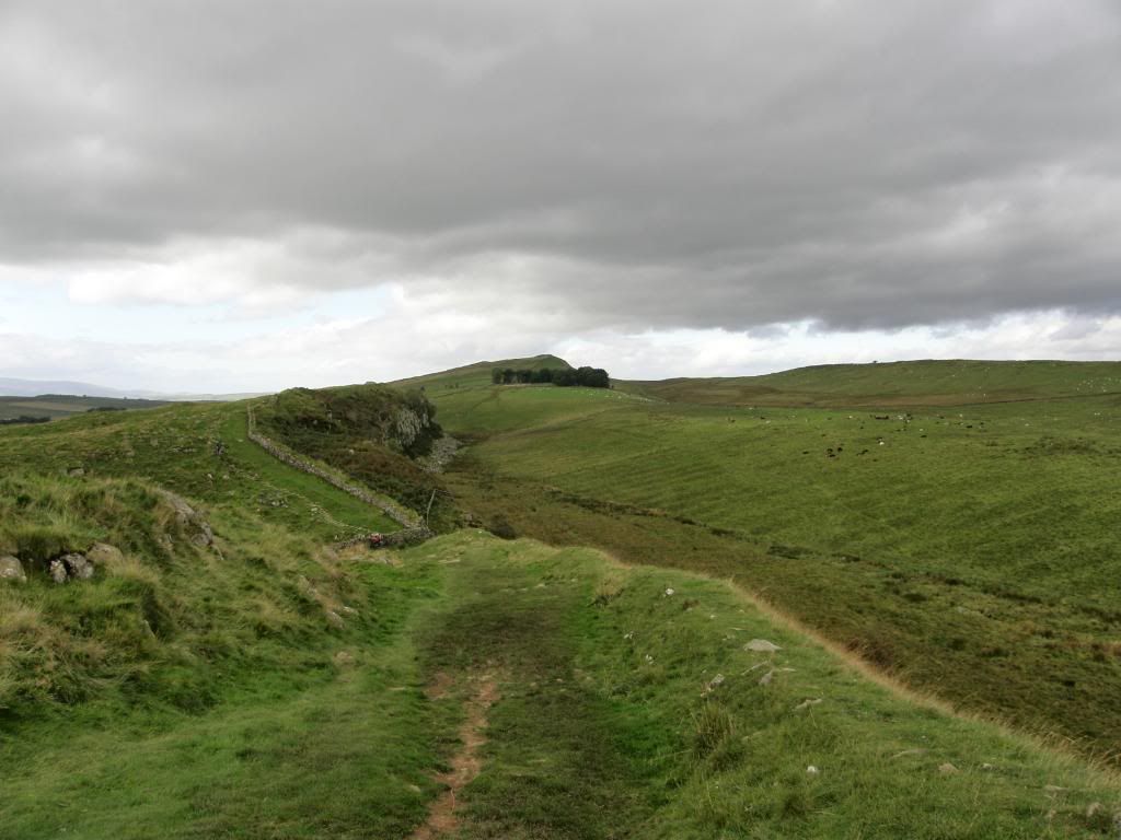
The ridge and furrow pattern to the north of the wall
But what views from here to all points of the compass, so I jumped up on the trig point and snapped a couple of shots. It is a lovely but bleak part of the wall and a constant reminder of how tough life must have been for the local population. There were lots of low flying jets on practice bombing runs up to Otterburn, and later on I could hear the distinctive dull thump of ordinance hitting the ground. There is a fine view along to Crag Lough in the east with a valley left and right of the wall which winds up and over the hills and disappears down into the gaps. The going was a lot easier today with firm ground underfoot for a change, but still wet and shiny. The old farming shields can still be seen in places, a nice place to stay in the summer with your sheep. There are an awful lot of place names here with shields in, including Sewingshields where they made sewing machines – not really. It was another rambling, strolling along day for me as there was so much to see and I wasn’t tied to time. Before I reached one of many highlights of the day, I passed by milecastle 39 which is called ‘Castle Nick’ to his friends, named as it sits in a little col between crags.
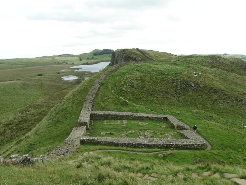
Castle Nick milecastle - the playing card castle
A farmer to the north has cleverly sited his barn so when you look through the south gate it is there in front of you through the north gate – not much to look at really. But looking down at the milecastle from above you get a general feel for the size and space within the walls, and it must have been cosy in the winter. I followed the wall up and over the next crag and somehow started humming ‘Robin Hood, Robin Hood riding through the glen…’. That was much to the annoyance of another walker, a Northumbrian who informed me that after some of the Kevin Costner ‘Prince of Thieves’ film opening scenes were shot here, some publicity shots had shown Sycamore Gap as ‘Robin Hood’s Tree’. No wonder there’s so many trees around he’s meant to have hid up, mis-information! (Robin Hood hiding not Kevin Costner). So I pondered this for a moment and then carried on along my way…humming, but resolving to make sure that people know the Robin Hood connection is a figment of some marketing executives imagination – so there you have it.
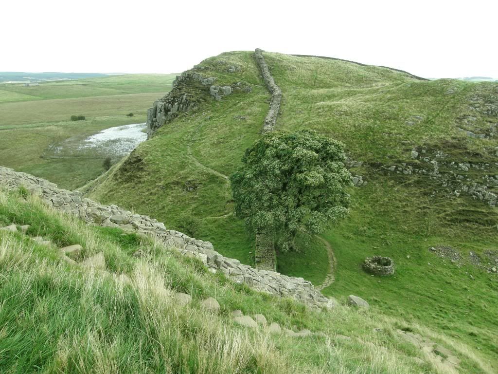
The tree comes into view all of a sudden
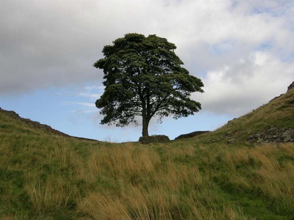
And here it is in all its glory
It is an amazing sight as the much photographed Sycamore Gap comes into view, the tree appearing at the very last moment. I had to wait for a while until people had moved out of the way or hid behind the tree and stonework, so I could try and get a good picture, and I think I did. Up the other side of Sycamore Gap is another delight as the crags are near vertical here and down below is the aptly named Crag Lough. I was lucky enough to be able to look down onto a heron fishing, and two swans gracefully wading through the long grass towards the waters edge (see the flora & fauna). The columns of the Whin Sill dolerite can clearly be seen and would have been a joy to use for the Roman stonemasons, but still hard work. Walking along the crags here was a man who had suffered a stroke and his gait was awkward as he walked along. But not only was he walking along at a fair old lick, he was managing the ups and downs as well. He had walked from Housesteads Fort out to Sycamore Gap, and was on his way back again. It certainly gave me pause for thought, and will make me think twice before moaning about sore feet or toes.
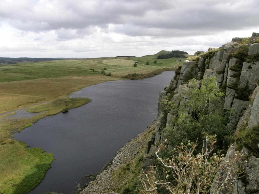
Crag Lough
As I made my way down from the top there was a man in a field with two trestle tables set up, with various vegetables laid out along with cooking pots. I thought he was a TV chef doing some fancy programme but he assured me he wasn’t and was cooking for some walkers who must have been on an organised walk. What a nice way to have lunch but no doubt it must have been expensive and he wasn’t offering any free samples. He had driven his van up to one of the gaps, and maybe he was taking the less well prepared back top their hotels. Shortly after this as I walked up to Hotbank Crags and met some people from Cape Cod in the US of A. They were having a grand time and were well informed about the local history. Shortly afterwards I passed a group of Canadians who were fully togged and shouted in amazement "look shorts and no gators….wow", I didn’t think it was cold and today wasn’t that wet at all. They must have been fed a fine line of bull the night before in the pub. I guess the majority of walkers had set out from Newcastle on Monday morning and this was the crossing point for the east to west and west to east brigades. But all were cheery and good company for a while. Probably 95% of walkers are very positive and always have time for a ‘hi’ or hello, so the other 5% are miserable b"%/¤*s – why do they bother?
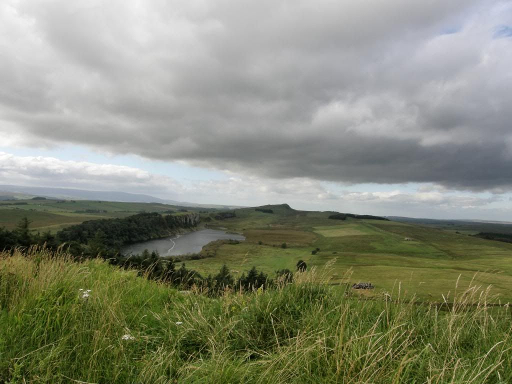
A beautiful vista to the west over Crag Lough, the Pennines are still in view
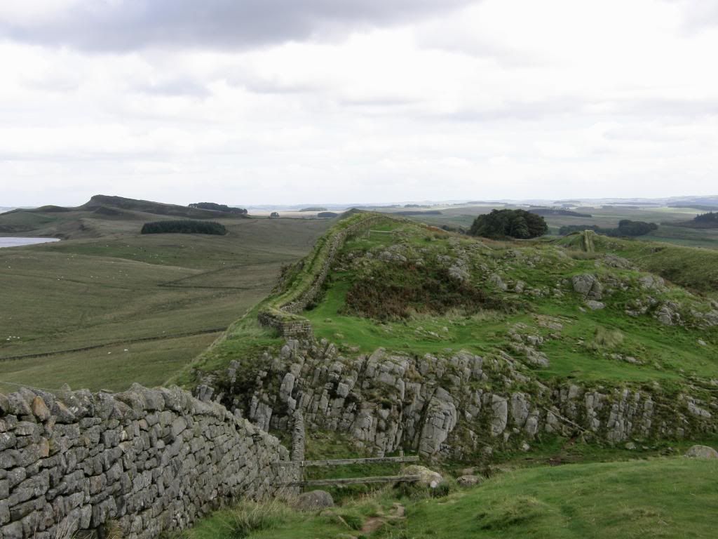
The Pennine Way departs to the left side
The path climbs up and drops down from the crags, and in the next small knoll the Pennine Way cuts away to the north. I must admit that it didn’t look very appealing from where I stood, just a long haul north through the peaty wastes. Maybe it would be different on a sunny day, and maybe one year I will find out, but I have many more LDP’s before I get around to the Pennine way. Just after Cuddy’s Crags (Northumbrian slang for horse apparently – amazing what you learn everyday) was the very distinctive arched north gate of milecastle 37.
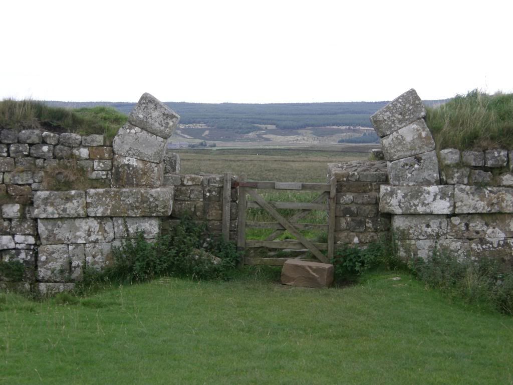
Gate 37
If you were a Roman centurion and sent out of this gate, you knew you were in trouble as it only goes one way – that’s straight down over the edge! The view back to the west from up here was great and I was a bit envious that the clear weather was behind me – ironic really as I thought that walking from west to east the weather would be at my back, not in front of me. I could see the Pennines receding into the distance and to the north I could just make out Cheviot far in the distance. The jets continued their bombardment to the north as I continued to walk by the wall, which was now clad with a lovely inviting turf covering.
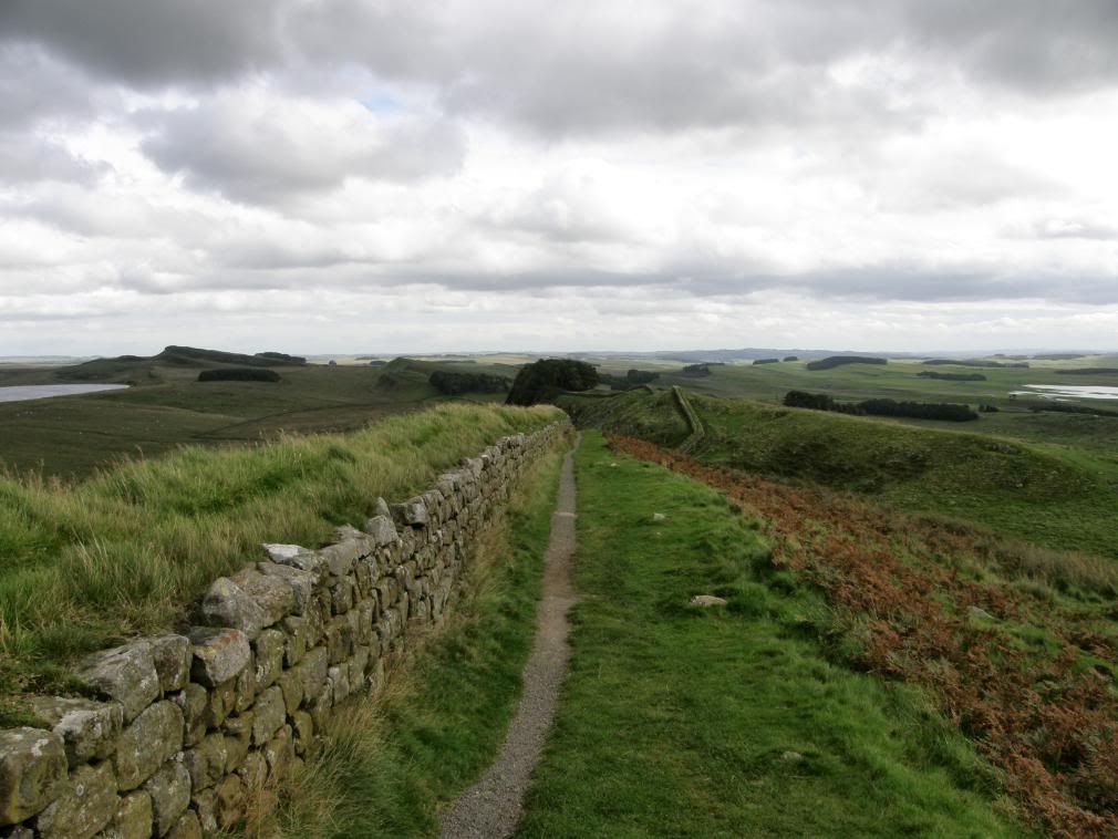
The turf topped wall with Housesteads adjacent to the next woods
I was close to the Roman fort of Vercovicium (Housesteads) and this was the only place you can officially walk on the wall along the turf. As I entered a small wood the path follows on top of the wall for a short distance before emerging at Housesteads. All around are the signs of past occupation outside of the fort boundaries are the earthworks of the vicus, and you can still see the cultivation terraces to the south, with some ridge and furrow to the north of the wall. There are some refreshment facilities at the entrance to the fort, but not much – just cans and some sandwiches. If you want the loo you have to make a 1 mile detour to the main car park or trudge onwards to your destination. More information about Housesteads can be found here:- http://www.roman-britain.org/places/vercovicium.htm . You have to pay to get into the fort, unless you pretend to be an invader from the north like me and climbed up the corner – scraped knees for my trouble! The wall continues on from here for a little way, turning up to the north east as the climb to Sewingshields Crags began. Soon enough the rebuilt wall changes into a farmer’s dry stone wall, but you can still see the Roman footings of the original wall at the base. Broomlee Lough is to the north and is surrounded by many acres of marshland, and as I stopped and stared I thought how beautiful in its own unique way.
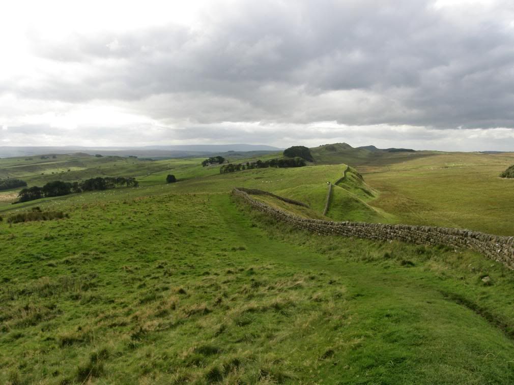
Looking back to housesteads to the west
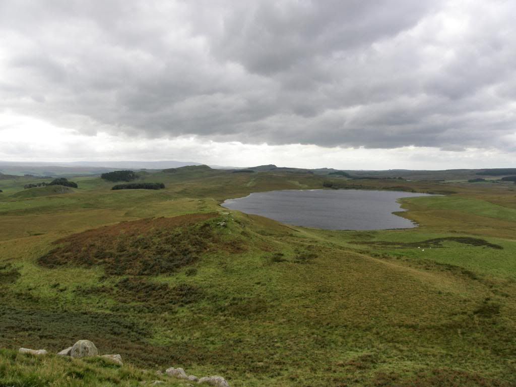
Broomlee Lough
The Roman additions to the landscape make a little imprint but it is the Whin Sill that makes the land stand proud above its surrounds for many miles. It definitely has echoes of Wuthering Heights up on the moors. A little further on from Sewingshields Crags I passed another trig point, which didn’t seem to be on a particular high point of the hill, just plonked down and painted white. The path converges towards the road and from here on down to the end of the day at Chollerford the walk gently undulated up and down, but always never far from the road. It’s not a particularly busy road but the cars and lorries are travelling fast and when I had to cross over I made very sure that the road was clear. As well as staying closer to the road the wall also disappears to a large extent, although the earthworks are as impressive as ever with the occasional stretch of wall showing up.
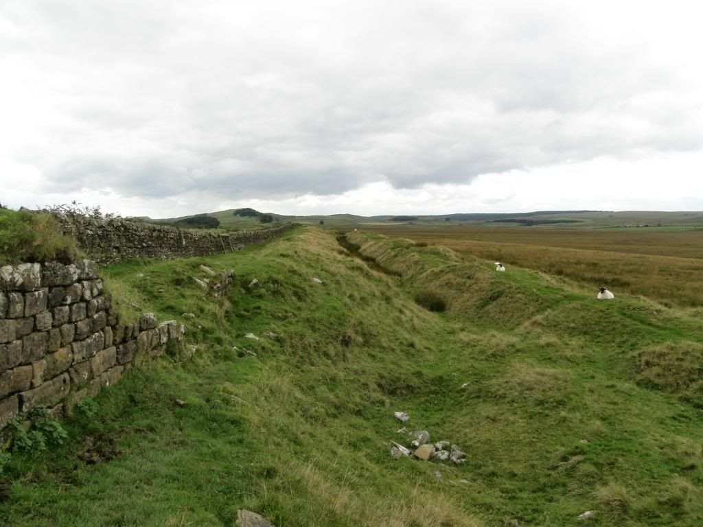
The earthworks are with you for a long way – mostly in a straight line
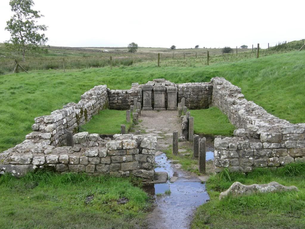
The Temple of Mithras
The next stop was the vegetable fort – Broccolitia and the Roman Temple of Mithras known as Coventinas Well. The temple is a reconstruction of how it would have looked if they had made it out of concrete! The altar stones had their usual covering of spare coppers – obviously just 1p and 2p pieces, anything bigger would have been taken away by the local gods. The fort itself is overgrown and there are no excavations present that I could see. Once I had finished looking at the temple I made my way uphill and down, with the sun breaking out to the north I wandered along under the grey cloud cover.
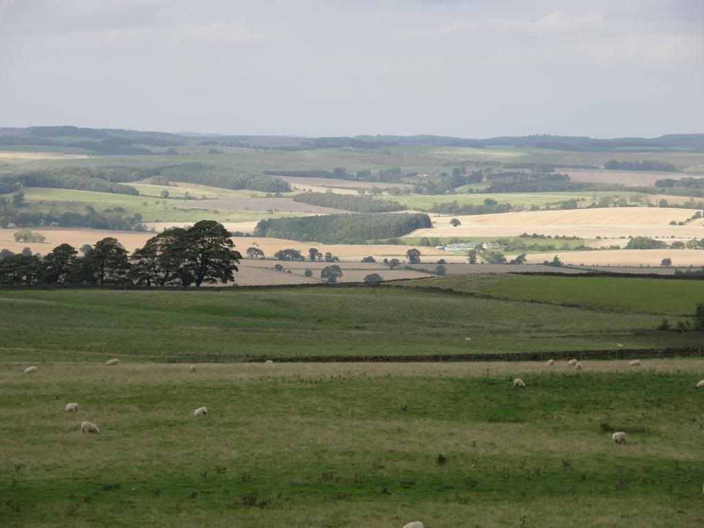
Wonderful light to the north
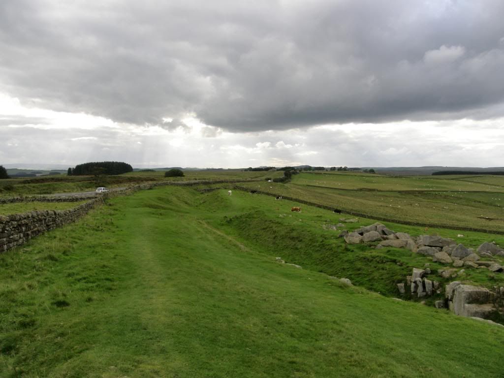
This was meant to be limestone corner I think, but it wasn’t limestone
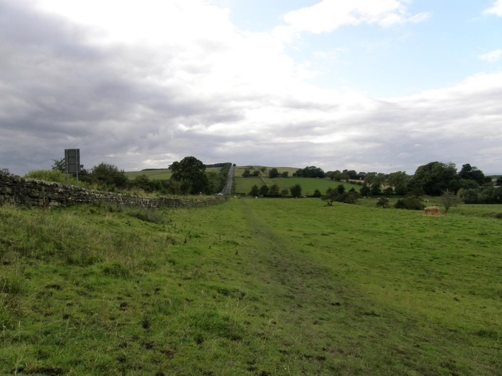
On and on and on the vallum runs
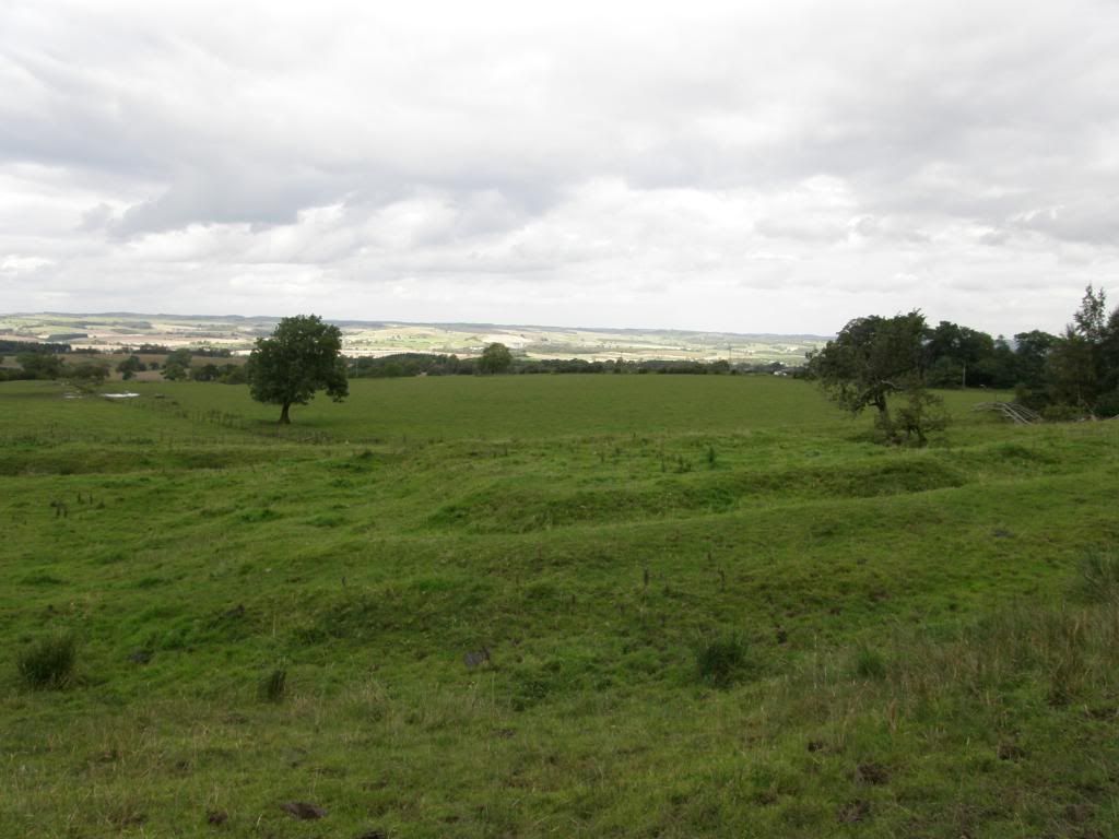
Just earthworks now, marking the position of the milecastles
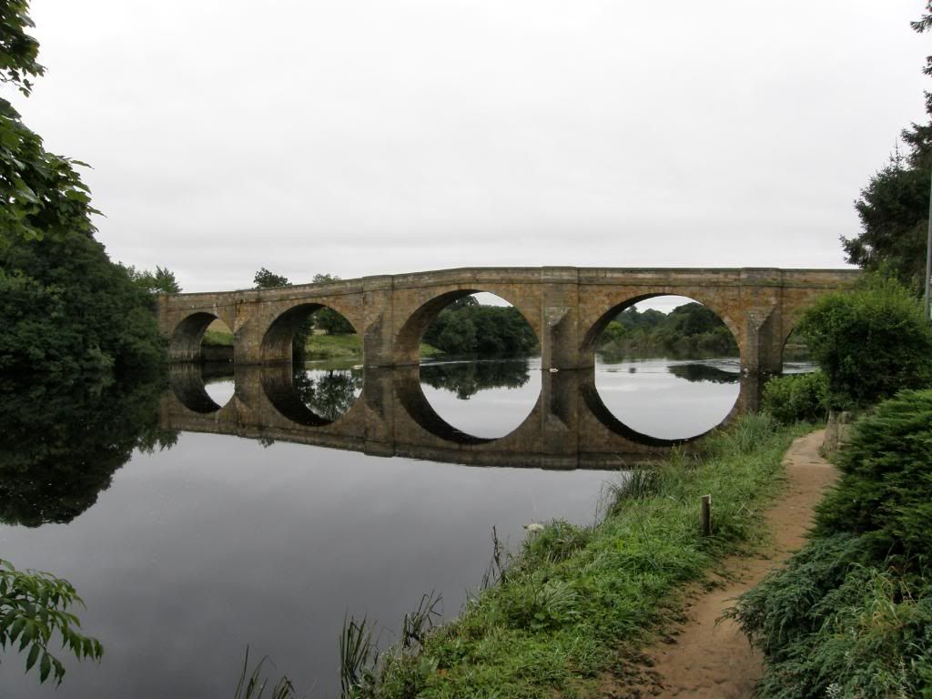
After all of the wonderful landscape and features of today it came as a bit of a shock to be walking across agricultural land so soon after the National Park. But there was one more treat to end the day and that was Chesters Fort just before the finish at Chollerford. The fort was built to guard the Roman bridge which carried Hadrian’s Wall over the River North Tyne, and down by the river, you can see the very well-preserved steam rooms and bathing areas of the garrison’s bath house. The remains of the bridge footings can be seen, and it is well worth a visit to see the small museum here. More information can be seen here:- http://www.roman-britain.org/places/cilurnum.htm . I followed the road down towards Chollerford and by this time I wished I had used the facilities at Housesteads, as walking on tippie toes towards the B&B was none to comfortable! I passed by a stud farm with a fine box sculpture of a jockey on horse, but I didn’t pay much attention as by this time I was crossed eyed and in desperate need. You’ll be happy to know that the day ended in peaceful serenity next to the River Tyne, looking on the golden bridge in the late evening light….ahhh bliss. If Carlsberg made Hadrian’s Wall then this was probably the best day of the walk.

No comments:
Post a Comment